


Presentation
It is the classic road to make the ascent of Le Col de la Croix de Fer, less hard than by Le Col du Glandon. Discover the high valley of Arves, dominated by the glacier L'Etendard.
You'll follow a shady road at the start, then a more open one as you enter the Arves valley. You'll pass through the hamlets that make up the villages of Saint-Jean-d'Arves and Saint-Sorlin-d'Arves, before starting the final ascent, during which you may encounter grazing herds.
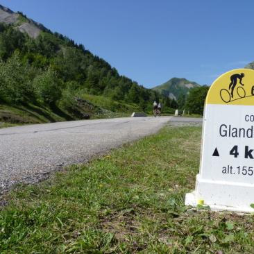
At the summit, the panorama is well worth the effort! This itinerary is equipped with milestones.
Water and refreshment points are available at Saint-Jean-de-Maurienne, Saint-Jean-d'Arves, Saint-Sorlin-d'Arves and Col de la Croix de Fer. The nearest repair facilities are in Saint-Jean-de-Maurienne and Saint-Jean-d'Arves.
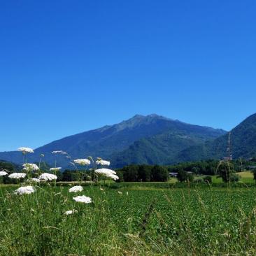
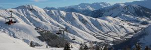
On arrival in the Arves valley, follow the panoramic road to the Aiguilles d'Arves mountain range, with the Montrond church in the foreground.
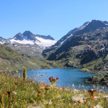
At the top of your ascent, the Col de la Croix de fer: panoramic view of the mythical Aiguilles d'Arves, emblem of the Arvan Villards-Les Sybelles region, the Pic de l'Etendard and the Saint Sorlin glacier, as well as the Vallée des Arves. Panoramic view of the villages of Saint-Sorlin and Saint-Jean-d'Arves.
Detailed route
Depuis la sortie de Saint Jean de Maurienne et le rond-point "Opinel", empruntez la D926 qui vous fera remontez la vallée jusqu'à Saint-Sorlin et le final jusqu'au col.
Opening period
From 01/06 to 30/10 daily.
Depending on the weather.
Tarifs
Free access.
Services
Activities
See also