Image(s) principale(s)
Image
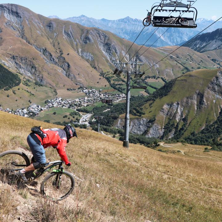
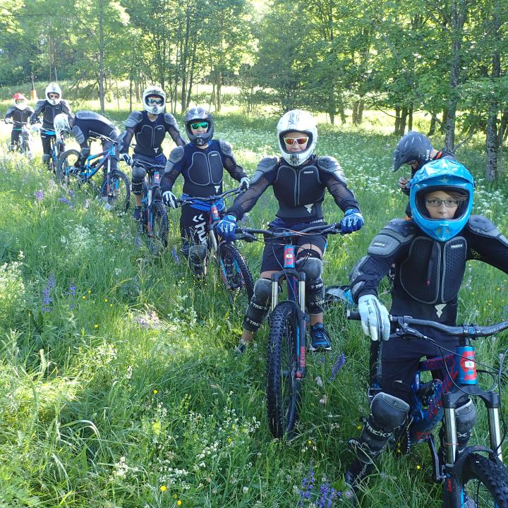
Pré-titre
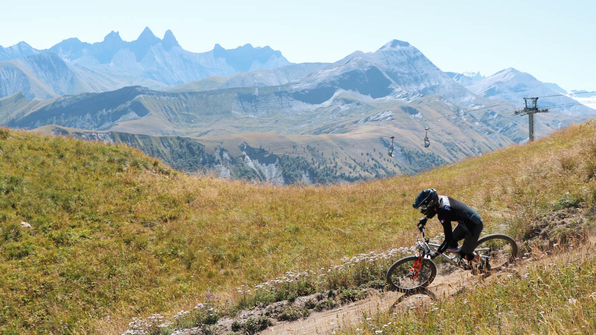
Discover several itineraries to hurtle down our paths by bike !
Title
Mountain bikes & e-bikes
Intro
Let's try our new bike park or taste our itineraries with mountain bike or E-bike with a guide or in autonomy.
Image secondaire

Copyright
© Valentine BM photographie