
Presentation
Discover Route No. 2 – The small lakes from the Espace Trail Pays des Aiguilles d'Arves.
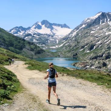
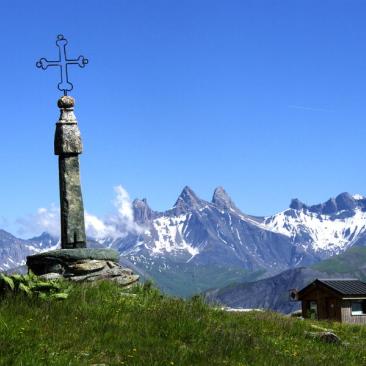
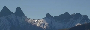
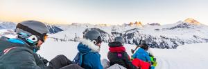
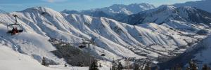
Starting from the Col de la Croix de Fer, this circular walk takes in the small high-altitude lakes at 2,000 metres. These lakes are very popular picnic spots. The view is often spectacular when the Aiguilles d’Arves and the mountain flowers are reflected in the mirror-like water. The route descends to the first lakes, Potron and Guichard. You then head back up to Lac Laitelet, cutting across the road. In summer, you’re likely to spot marmots and cows there. The climb back up to the pass follows a single track with a gentle gradient. Once you’ve reached the top, take a moment to study the landscape at the orientation table located at the pass.
Routes available on the Espace Trail Pays des Aiguilles d'Arves website: https://espacestrail.run/en/paysdesaiguillesdarves/parcours/72129
Opening period
From 15/06 to 15/09 daily.
Subject to favorable snow and weather conditions.
Tarifs
Free of charge.
Equipements
Services
Activities
To download / to see
See also