
Presentation
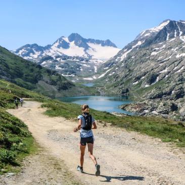
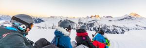
Discover Route No. 4 – Glacier from the Espace Trail Pays des Aiguilles d'Arves.
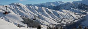
From the Col de la Croix de Fer, this course offers high mountain scenery between lakes and glacier. The climb takes the trail of the North Col des Lacs by the left of the mountain range Les Perrons. From the Col at 2533m you walk along Bramant Lake, the largest, by the right bank. The trail runs along the lakes: Bramant Lake, Lac Blanc and Lac Tournant, often dry so not very visible, to then reach the foot of the Saint Sorlin Glacier and its eternal snows. Return by the same path for 4km before again bypassing the lakes on the other bank (left bank) to the refuge of Etendard 2440m. The descent to the Col de la Croix de Fer is by the trail of the Vallons which cuts the laces of the track.
Routes available on the Espace Trail Pays des Aiguilles d'Arves website: https://espacestrail.run/en/paysdesaiguillesdarves/parcours/72132
Opening period
From 15/06 to 15/09 daily.
Subject to favorable snow and weather conditions.
Tarifs
Free of charge.
Equipements
Services
Activities
To download / to see
See also