


Presentation
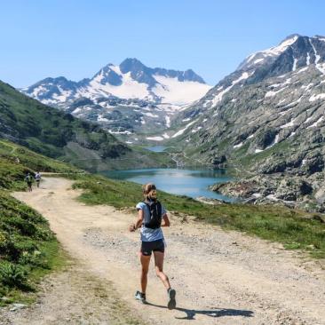
Come and discover almost 550 kilometres of marked trail routes in the heart of our mountains. Whether you're a beginner or an expert, you'll find something to suit you, with routes from 3 kilometres to 38 kilometres, in valleys or beside lakes !
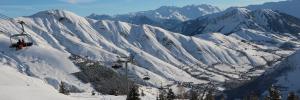
To diversify the pleasures and landscapes, discover our trails from Saint Sorlin d'Arves, Saint Jean d'Arves, la Toussuire, le Corbier, the Villards Valley or in the heart of the Maurienne.
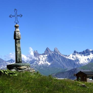
Facing the Aiguilles d'Arves and at the foot of the Saint Sorlin glacier, just 1h and a half from Grenoble and 2h from Lyon, you'll find a range of circuits at different levels, following the footsteps of the Trail de l'Etendard.
And along the way, you're sure to come across marmots and cows or sheep in summer pastures... and eternal snow !
• 42 routes for all levels
• Nearly 400 kilometres
• 6 sectors
Download the route map.
Routes and opening times are available on our website : https://www.saintsorlindarves.com/en/rando-velo/trail-area or on the TrailConnect smartphone application.
Itinerary
Opening period
From 15/06 to 15/09 daily.
Subject to snow conditions and the opening status of the routes.
Subject to favorable snow and weather conditions.
Tarifs
Free access.
Equipements
Services
Activities
To download / to see
See also