


Presentation
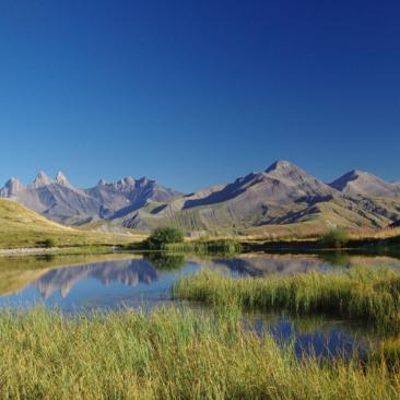
Altitude lake easily accessible and available for a family walk, a picnic session or even a fishing day!
You can relax by the shores of Lake Guichard or on the nearby meadows whilst admiring the scenery.
DIRECTIONS:
Map: IGN TOP25 3335ET Le Bourg-d’Oisans - L’Alpe d’Huez
Starting altitude: 2,064 metres
Walking time: 1 hour (for the 1.9 km loop, 60 m elevation gain)
ACCESS:
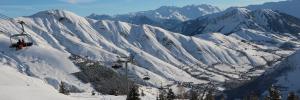
- A 20-minute walk from the Col de la Croix de Fer car park.
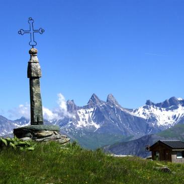
From the car park at the pass, head south along a track, then after 200 metres take the path on the left which descends to the Guichard and Potron lakes. Then, at a fork in the path, take the path on the right to reach Lake Guichard.
- A 20-minute walk from the Choseaux chairlift.
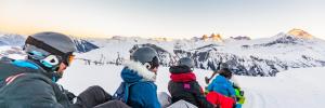
HIGHLIGHTS:
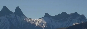
- views of the Aiguilles d'Arves
- the legendary Croix de Fer pass
- picnics
- fishing
- blueberry picking
- easy hiking
Opening period
From 01/06 to 15/09 daily.
Equipements
Services
Sustainable tourism
Lake Guichard is located on the Wetlands Trail proposed at the Col de la Croix de Fer:
The Syndicat Arvan-Villards (SIVAV) has created an interpretation circuit on the wetlands, lakes and peat bogs located at the Col de la Croix de Fer, in Saint-Sorlin-d'Arves. The SIVAV has set up a signposted walking route with 5 thematic observation points. The panels were designed by France Nature Environnement and then fixed to existing path posts. They are subsidised by the Water Agency within the framework of the Arc River Basin Contract.
To download / to see
See also