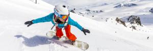
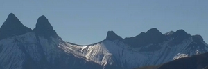
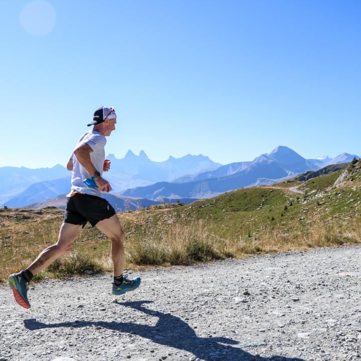
1h30 from Grenoble and 2h from Lyon, come and pace your way through our wild, natural landscapes between lakes and mountains... Facing the Aiguilles d'Arves and overlooked by the Col de la Croix de Fer and the Saint Sorlin glacier, there are exceptional panoramic views and a whole host of possibilities open to you. And along the way, you're sure to come across marmots, tarine and abundance cows or sheep in summer pasture... and eternal snow! In Saint Sorlin d'Arves, you'll find some of the easiest trails in the Espace Trail, as well as some of the toughest, to suit all tastes. Two vertical climbs are also on offer, so you'll have plenty of elevation gain!
With Saint Jean d'Arves, La Toussuire, Le Corbier and the Vallée des Villards, there are almost 400 kilometres of signposted trail routes to discover in the Espace Trail Pays des Aiguilles d'Arves!